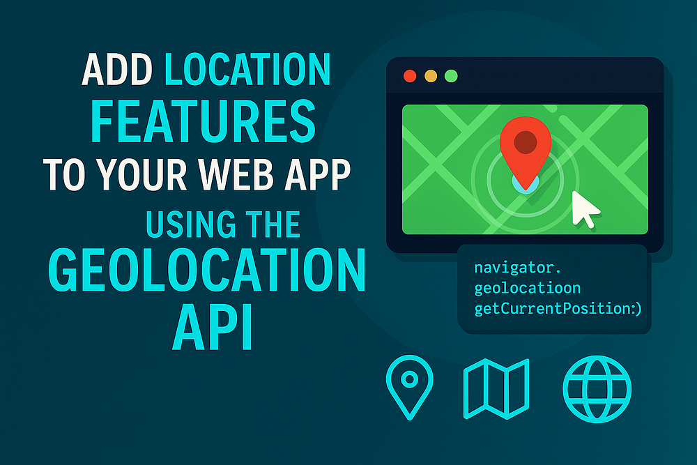
Make your web app smarter and more contextual by detecting, tracking, and using a user’s location, all with plain JavaScript.
Introduction
Ever noticed how some websites automatically show local weather, nearby stores, or your current city?
That’s not magic, it’s the Geolocation API quietly doing the work behind the scenes.
This simple but powerful browser API lets you detect and use the user’s physical location, whether for real-time maps, personalized content, or region-specific experiences.
In this post, you’ll learn:
- How to get a user’s current location
- How to track position changes in real time
- How to build interactive location features
- Best practices for privacy and performance
By the end, your web app will feel more personal and aware, just like a native mobile app.
1. What Is the Geolocation API?
The Geolocation API is built into modern browsers and provides a way to get the user’s physical coordinates.
It can be used:
- GPS (for precise positioning on mobile)
- Wi-Fi or cell towers (for rough estimates)
- IP location (for fallback accuracy)
You can access it through the navigator.geolocation Object:
navigator.geolocation.getCurrentPosition(success, error, options);
navigator.geolocation.watchPosition(success, error, options);
Let’s see both in action.
2. Get the User’s Current Location
A one-time location request is the simplest way to start.
<button id="locate">Get My Location</button>
<p id="output">Click the button to get your coordinates.</p>

<script>
  const output = document.getElementById('output');
  document.getElementById('locate').addEventListener('click', () => {
    if (!navigator.geolocation) {
      output.textContent = 'Geolocation is not supported by your browser.';
      return;
    }
    navigator.geolocation.getCurrentPosition(
      (pos) => {
        const { latitude, longitude } = pos.coords;
        output.textContent = `Latitude: ${latitude}, Longitude: ${longitude}`;
      },
      (err) => {
        output.textContent = 'Error: ' + err.message;
      }
    );
  });
</script>
✅ Once the user grants permission, you’ll get their coordinates instantly.
This is perfect for features like “Find nearby restaurants” or “Show weather in my area.”
3. Track Live Movement with watchPosition()
For live updates, such as when a user is moving or driving, use watchPosition().
navigator.geolocation.watchPosition(
  (pos) => {
    const { latitude, longitude, speed } = pos.coords;
    console.log(`Latitude: ${latitude}, Longitude: ${longitude}, Speed: ${speed || 0} m/s`);
  },
  (err) => console.error('Error:', err),
  { enableHighAccuracy: true, maximumAge: 0 }
);
This method keeps watching for changes and calls your callback each time the location updates.
You can stop tracking when needed:
navigator.geolocation.clearWatch(watchId);
Use this in ride-tracking, delivery, or navigation apps.
4. Show Location on a Map
You can easily display a location on a map using Leaflet.js, an open-source map library that doesn’t require an API key.
<link rel="stylesheet" href="https://unpkg.com/leaflet@1.9.4/dist/leaflet.css" />
<script src="https://unpkg.com/leaflet@1.9.4/dist/leaflet.js"></script>

<div id="map" style="height: 400px;"></div>
<script>
  const map = L.map('map').setView([0, 0], 13);
  L.tileLayer('https://{s}.tile.openstreetmap.org/{z}/{x}/{y}.png', {
    attribution: '© OpenStreetMap contributors'
  }).addTo(map);
  const marker = L.marker([0, 0]).addTo(map);
  if (navigator.geolocation) {
    navigator.geolocation.watchPosition((pos) => {
      const { latitude, longitude } = pos.coords;
      const coords = [latitude, longitude];
      marker.setLatLng(coords);
      map.setView(coords);
    });
  } else {
    alert('Geolocation not supported.');
  }
</script>
This displays your live position on a moving m, ap a complete live-tracking feature in under 20 lines.
5. Build Location-Aware Features
Here are some simple, real-world ideas that use location data:
a. Auto-Detect Weather or Time Zone
Fetch weather data based on user coordinates.
navigator.geolocation.getCurrentPosition((pos) => {
  const { latitude, longitude } = pos.coords;
  fetch(`https://api.weatherapi.com/v1/current.json?key=YOUR_KEY&q=${latitude},${longitude}`)
    .then(res => res.json())
    .then(data => console.log(data.location.name, data.current.temp_c + '°C'));
});
b. Nearby Search
Use your coordinates to query a local business or event API (like Google Places).
c. Personalized Landing Page
Change greetings or offers dynamically based on region or country.
6. Handle Errors and Permissions Gracefully
The user might deny access, or the location might be unavailable. Handle it properly:
navigator.geolocation.getCurrentPosition(success, (error) => {
  switch (error.code) {
    case error.PERMISSION_DENIED:
      alert('You denied access to your location.');
      break;
    case error.POSITION_UNAVAILABLE:
      alert('Location information is unavailable.');
      break;
    case error.TIMEOUT:
      alert('The request to get your location timed out.');
      break;
    default:
      alert('An unknown error occurred.');
  }
});
Always inform users why your app needs their location, which builds trust.
7. Accuracy and Performance Tips
- Set
{ enableHighAccuracy: true }for GPS precision on mobile. - Use
{ maximumAge }to reuse cached positions and save battery. - Stop watching
clearWatch()when no longer needed. - Only request location after user interaction (click or tap).
- Always serve over HTTPS browsers, block geolocation on HTTP.
8. Privacy and UX Best Practices
The Geolocation API is powerful, but it’s sensitive too.
Follow these golden rules:
- ❌ Don’t store or send coordinates without consent.
- ✅ Show clear UI indicators (like “Tracking enabled”).
- ⚙️ Offer a toggle to disable tracking anytime.
- 🌍 Avoid unnecessary polling to save battery.
Responsible design makes location features both useful and trustworthy.
9. Browser Support

10. Complete Demo: Interactive “Where Am I?” App
<button id="find">Find My Location</button>
<p id="info">Click to get your location...</p>
<a id="mapLink" target="_blank"></a>

<script>
  const info = document.getElementById('info');
  const mapLink = document.getElementById('mapLink');
  document.getElementById('find').addEventListener('click', () => {
    if (!navigator.geolocation) {
      info.textContent = 'Geolocation not supported.';
      return;
    }
    info.textContent = 'Locating...';
    navigator.geolocation.getCurrentPosition((pos) => {
      const { latitude, longitude } = pos.coords;
      const url = `https://www.google.com/maps?q=${latitude},${longitude}`;
      info.textContent = `Latitude: ${latitude}, Longitude: ${longitude}`;
      mapLink.href = url;
      mapLink.textContent = 'View on Google Maps';
    }, () => {
      info.textContent = 'Unable to get location.';
    });
  });
</script>
Click the button you’ll see your coordinates and a link that opens your location in Google Maps.
Conclusion
The Geolocation API makes it easy to add powerful, personalized location features to any web app.
Whether you’re building a live map, a weather widget, or a “find near me” service, all it takes is a few lines of JavaScript.
No third-party SDKs. No setup pain. Just the open web.
Pro Tip: Combine the Geolocation API with Leaflet.js, Mapbox, or even a backend service like Firebase to build multi-user, real-time maps.
Call to Action
How would you use location features in your web app tracking, personalization, or something unique?
Share your idea in the comments and bookmark this post for your next JavaScript project.


Leave a Reply